


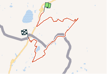
La Thuile vers le lac de Longet

sandrine-s01
User

Length
9.1 km

Max alt
2593 m

Uphill gradient
502 m
Km-Effort
15.7 km

Min alt
2143 m

Downhill gradient
458 m
Boucle
No
Creation date :
2023-07-15 06:34:32.238
Updated on :
2023-09-10 16:41:14.473
2h38
Difficulty : Easy

FREE GPS app for hiking
 SityTrail
IGN / Geographical institutes
SityTrail Plus
The world is yours!
About
Trail Walking of 9.1 km to be discovered at Aosta Valley, Unknown, La Thuile. This trail is proposed by sandrine-s01.
Positioning
Country:
Italy
Region :
Aosta Valley
Department/Province :
Unknown
Municipality :
La Thuile
Location:
Unknown
Start:(Dec)
Start:(UTM)
335837 ; 5061773 (32T) N.
Comments